Land Survey
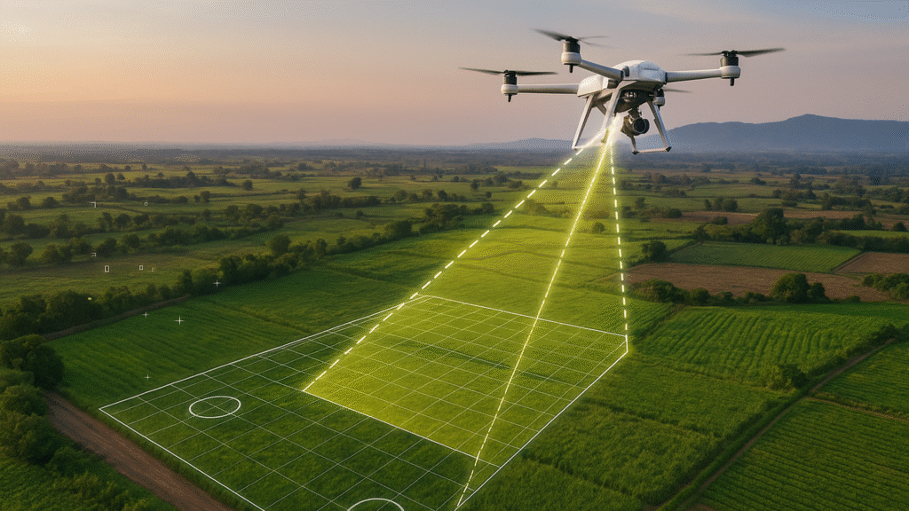
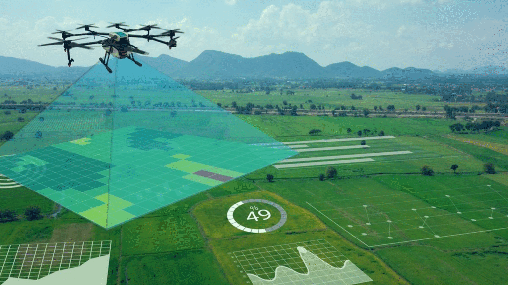
Our land surveying services combine drone technology, Emlid DGPS, and Pix4D software to deliver precise and reliable results. Using drones, we capture high-resolution aerial images that are processed in Pix4Dmapper to generate orthomosaics, contour maps, and 3D terrain models. With Emlid DGPS integration, we achieve centimeter-level accuracy, ensuring that surveys are dependable for legal documentation, infrastructure planning, and development projects. The workflow is faster and safer than traditional methods, reducing time spent in the field while increasing accuracy. We specialize in topographic surveys, boundary mapping, and digital terrain modeling, making us the trusted choice for engineers, developers, and government agencies. Whether it’s for agricultural land, construction sites, or infrastructure layouts, our solutions guarantee accuracy and efficiency at every step.