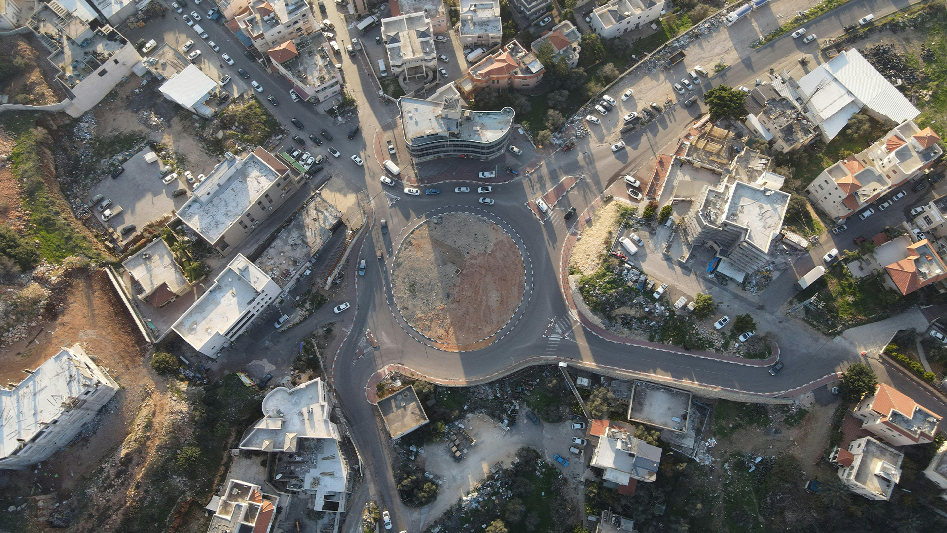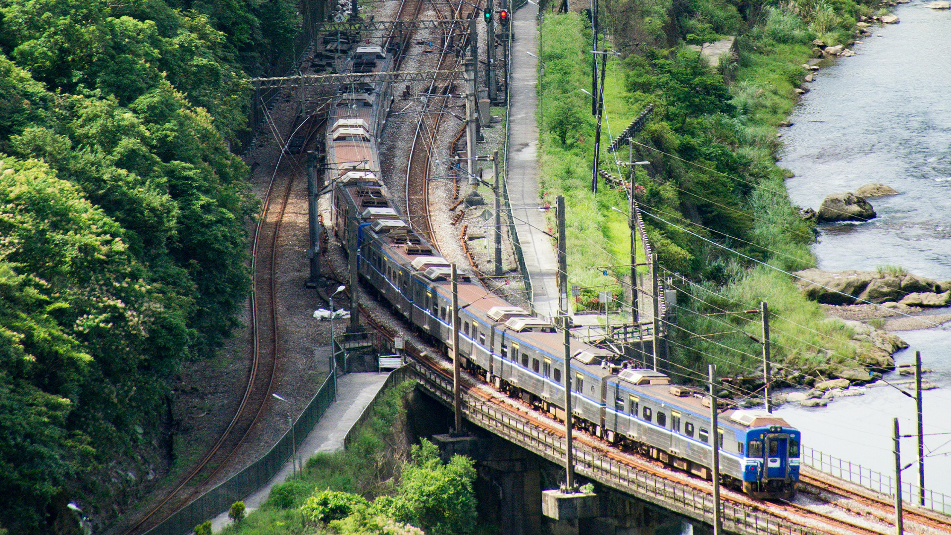
Corridor Mapping
Corridor mapping is critical for infrastructure such as roads, railways, pipelines, and power lines — and we make it precise with Pix4D and Emlid DGPS. Drones capture large stretches of linear features in high detail, while Pix4Dmapper and Pix4Dsurvey process the data into accurate orthomosaics, digital surface models, and 3D reconstructions. With DGPS integration, we ensure consistent accuracy over long distances, something traditional surveys struggle to achieve. Corridor maps can be directly used for planning, construction, and maintenance, helping stakeholders reduce errors and speed up decision-making. From right-of-way monitoring to terrain analysis, our corridor mapping delivers actionable insights for engineers and planners. The process is faster, safer, and more cost-effective compared to conventional survey methods, making it ideal for large-scale infrastructure projects.