Construction & Real Estate
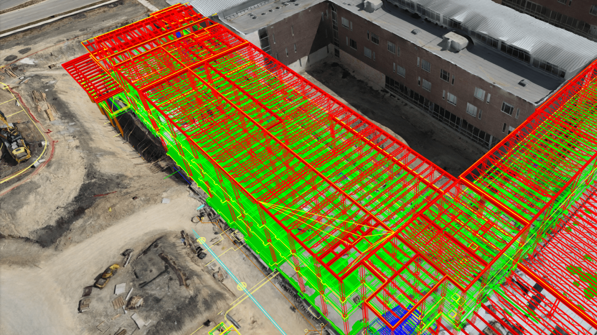
We provide end-to-end drone mapping solutions for the construction and real estate sectors using Pix4D’s advanced software suite. Our drones capture high-resolution aerial data which is processed into 2D maps, 3D models, and progress reports with centimeter-level accuracy using Emlid DGPS. For contractors, this means real-time site monitoring, cut/fill analysis, and efficient project tracking. For developers and real estate companies, we create visually stunning 3D models, walkthroughs, and aerial imagery that showcase projects in the best light. With Pix4Dcloud, stakeholders can easily access, share, and collaborate on data online. Our solutions streamline workflows, reduce costly rework, and improve communication between project teams. By integrating drone data into BIM systems, we provide a smarter way to plan, build, and sell.