Mining Area Planning & Mapping
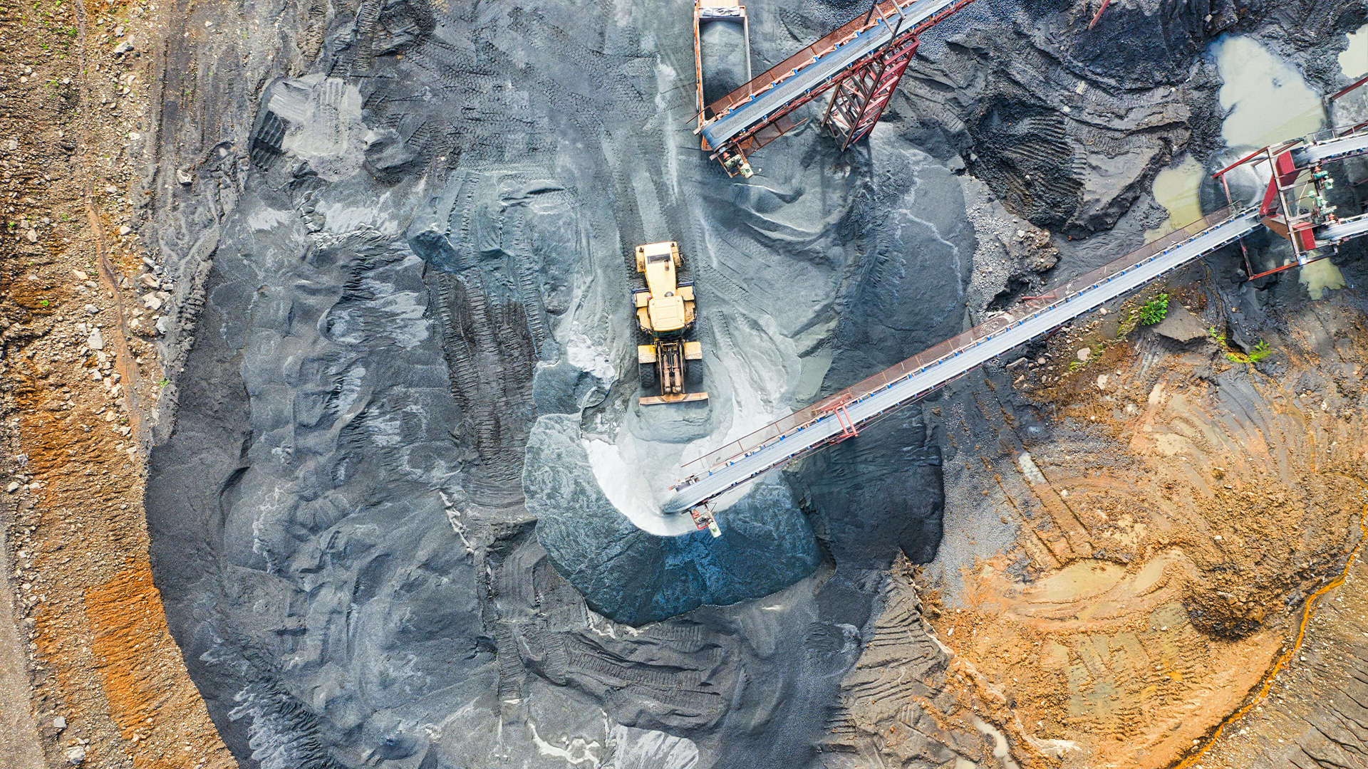
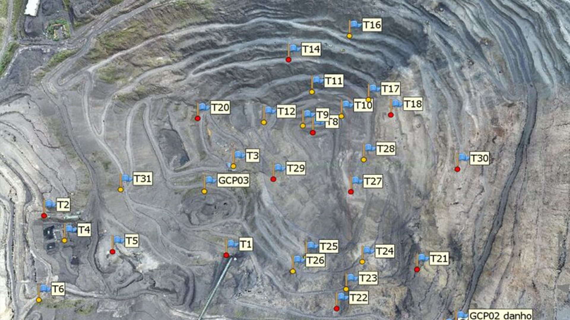
We bring innovation to mining operations with drone-based aerial mapping powered by Pix4D. By combining drone imagery with Emlid DGPS, we provide centimeter-level accuracy for pit designs, stockpile calculations, and resource management. Using Pix4Dmapper and Pix4Dsurvey, we deliver volumetric measurements, surface models, and orthomosaics that improve decision-making for mine planners. Our solutions eliminate manual measurement errors, improve site safety, and reduce time spent on ground surveys. From calculating stock volumes to monitoring excavation progress, we give mining companies real-time insights that improve efficiency and compliance. The results can be directly integrated into mining software and reports for better resource planning. With faster data capture and higher accuracy, we help mining companies achieve operational excellence.